Identity
- Official name
- Republic of Côte d'Ivoire
- Status
- Sovereign country profile
- Demonym
- Ivorian
- Codes
- CI / CIV
It shares land borders with Burkina Faso, Ghana, Guinea, Liberia, Mali.
Ivory Coast is in Western Africa. This profile brings its status, flag, geography, people, languages, and latest available indicators into one clear visual story.
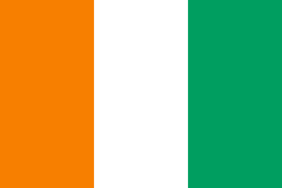
🇨🇮 The flag shown for Ivory Coast. Profile code: CI / CIV.
UN DESA · 2026 medium projection
Republic of Côte d'Ivoire
West African CFA franc (XOF)
UN DESA · 2026 medium projection
Basic info
Core identity, people, geography, government, and practical reference data in one scan-friendly board.
Compare profiles
Start with a neighbor or a similar regional profile, then adjust the matchup across the complete atlas.
At a glance
Ivory Coast is a world profile in Western Africa. Its status is sovereign country profile.
Economy
Economic values use the latest non-empty World Bank year from 2019–2026, shown below each figure.
A deeper profile
Comparable facts are shown with clear dates and neutral framing. Gaps stay visible instead of being filled with guesses.
Ethnic and religious categories vary by national census and are not presented without a directly comparable, dated source.
Population compares the 207 atlas profiles. GDP ranking includes profiles with a published World Bank value.
Wikidata records the current state as dating from 1960. Earlier state forms, independence milestones, and later constitutional changes may use different dates, so this is a starting point rather than a complete national timeline.
Connected places
Continue exploring across each listed land border or connected geography.
This profile has coastal access and listed land connections.
Visual atlas

People & place
Languages listed in the open country catalog for Ivory Coast.
This profile has coastal access and listed land connections.
The primary currency code and name used in the country catalog.
Identity card
Sources & notes
Statistics show their reference year because country data changes. Unavailable values are clearly marked instead of estimated.
Verified data & AI projection
Ivory Coast is profiled through long-run World Bank indicators covering the economy, population, health, work, technology, and environment. Western Africa context, regional connectivity, demographic direction, and long-run development indicators.
Medium projection from World Population Prospects, 2024 Revision
2035 scenarios are simple educational trend projections from recent historical observations. They are not official forecasts.
recent average · % annual
linear trend · % annual
compound trend · people
linear trend · years
linear trend · births per woman
linear trend · % of total
recent average · % annual
recent average · % labor force
compound trend · current US$
linear trend · t CO2e/capita
linear trend · % of people
compound trend · current US$